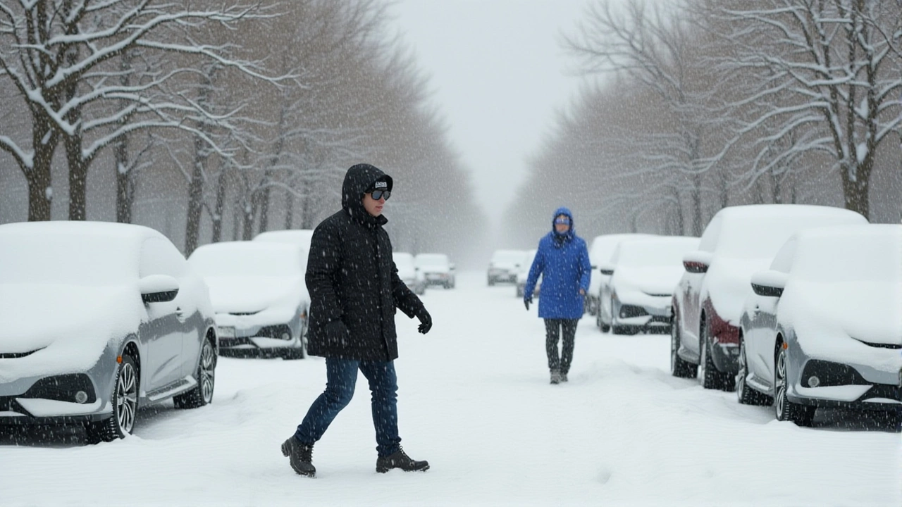
Early October has turned into a surprise snow‑show for parts of the United States, with the National Weather Service slamming out winter advisories from Alaska to the Northeast and even a warning for the Plains. The storm‑laden alerts mean slippery commutes, frozen pipes and a reminder that a weak La Niña is already reshaping the country’s weather playbook.
Why This Is Unusual for Early October
Typically, Alaska’s interior doesn’t see measurable snow until mid‑November. This year, however, the Fairbanks forecast office reported snow drifting into the city on Tuesday, a full month ahead of schedule. "Moderate to heavy snowfall is expected for the White Mountains, with the highest amounts reaching the Steese and Eagle Summits," the office wrote on X, the platform formerly known as Twitter.
Current Advisories and Their Geographic Reach
- Alaska: Winter weather advisories cover the Chena Hot Springs Resort area and Chena Hot Springs Road east of milepost 34, expecting 3‑5 inches of snow. The Steese Highway up to mile marker 90 and higher elevations of the White Mountains could see up to 6 inches.
- Plains: A Winter Storm Warning stretches across East Arkansas, North Mississippi, Southeast Missouri and West Tennessee.
- Northeast: Freeze warnings are active for parts of New York, Vermont and New Hampshire, where overnight lows will dip into the upper 20s°F.
The Alaskan advisories run from 2 p.m. Thursday to 10 p.m. Friday Alaska Daylight Time, targeting the Thursday‑night and Friday‑morning commutes. The Plains warning is effective through Friday night, while the Northeast freeze warning persists until sunrise on Saturday.
Regional Impacts on Residents and Travelers
In Alaska, the National Weather Service cautions that "slippery road conditions could impact Thursday evening and Friday morning commutes." Local police in Fairbanks have already dispatched extra snowplows to major arteries, and the Chena Hot Springs Resort is advising guests to stay indoors after 6 p.m. if possible.
Down in the Plains, the mixed rain‑snow bands are expected to produce travel‑disrupting accumulations of up to half an inch of ice, prompting school districts in East Arkansas to consider delayed starts. In the Northeast, gardeners are being told to pull back tender perennials, and homeowners in rural New Hampshire are warned about frozen outdoor water lines.

Long‑Term Climate Outlook: La Niña and Drought Concerns
The National Weather Service Central Region Climate Outlook, released on , paints a mixed picture. While above‑normal temperatures are projected for the Mid‑Mississippi Valley through the Ohio Valley and southern Great Lakes from October to December, precipitation is expected to stay below normal in the Mid‑Mississippi Valley and hover around average elsewhere.
Drought, however, is set to linger. The outlook warns that the Mid‑Mississippi Valley, Ohio Valley and southern Great Lakes will see persistent dryness through year‑end, with the Rockies and central High Plains also remaining parched. Only small pockets in the Central and Northern Plains may see any improvement.
What Residents Should Do Right Now
- Check road conditions before heading out, especially on the Steese Highway and major routes in the Plains.
- Keep an emergency kit in the car—blankets, a flashlight, water and a spare phone charger.
- If you’re in the Northeast, disconnect outdoor hoses and cover any vulnerable plants.
- Stay tuned to local NWS updates; the service will issue advisory extensions if conditions worsen.
Officials stress that while the snowfall isn’t record‑breaking, the timing is what makes it tricky— commuters aren’t yet in “winter mode” and many municipal snow‑removal budgets haven’t been fully activated.
Expert Take on the Early Snow
Dr. Elena Martinez, a climatologist at the University of Alaska Fairbanks, explained, "The early snow is a classic symptom of a developing La Niña. Cooler air masses are slipping southward earlier than usual, which means places like Fairbanks see October snow while the rest of the country stays warm and dry." She added that the early cold snap could actually help ease the lingering drought in parts of the central United States, but the benefit is limited because the overall precipitation deficit remains large.

Frequently Asked Questions
How will the winter weather affect travel in Alaska?
Snow on the Steese Highway and Chena Hot Springs Road is expected to make travel treacherous Thursday night and Friday morning. The NWS advises drivers to allow extra time, use winter tires, and carry an emergency kit. Local crews are deploying additional plows, but early‑season snow can catch drivers off guard.
What damage could the freeze warnings cause in the Northeast?
Temperatures dipping into the upper 20s°F risk killing tender garden plants and cracking exposed water pipes. Homeowners should insulate outdoor faucets, keep cabinet doors under sinks open to warm interior walls, and consider moving potted plants indoors.
Why is a weak La Niña important for this weather pattern?
La Niña shifts the jet stream northward, allowing cooler air from the Arctic to spill into the western U.S. earlier than usual. That’s why Alaska is seeing snow in October while the central Plains still face drought conditions.
Will the early snowfall help the ongoing drought in the Midwest?
Only marginally. The NWS outlook projects below‑normal precipitation for the Mid‑Mississippi Valley in October, so a few inches of snow in Alaska won’t offset the larger moisture deficit affecting the Midwest and Great Lakes region.
When is the next update expected from the National Weather Service?
The NWS releases hourly updates during active advisories. Residents should check the local forecast office’s website or follow the agency’s X feed for the latest timing and any possible extensions of the current warnings.


